
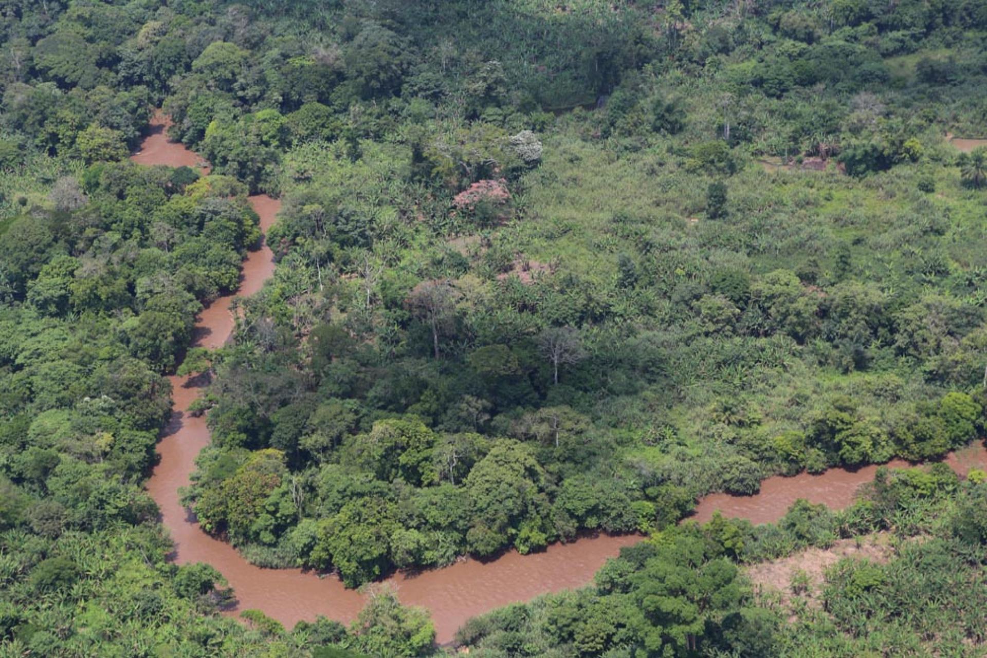
After years of siloed decisions across agriculture, forestry, mining and conservation, eight Central African countries now have a shared framework for integrated landscape planning, formally endorsed by COMIFAC’s Ministers of Environment.
A farmer clears a small area of forest to expand production. A road is built to connect rural communities to markets. A protected area strengthens wildlife conservation. Each decision makes sense on its own.
Yet across the Congo Basin, these decisions are often made in isolation, without fully accounting for how their impacts extend beyond individual sectors or locations. Expanding agriculture can affect wildlife corridors. New infrastructure may increase access to forests while creating opportunities for trade and livelihoods. Decisions made upstream can influence rivers, ecosystems and communities far beyond the place where they began.
Landscapes are connected. Planning often is not.
Across much of central Africa, decisions about agriculture, forestry, mining, infrastructure and conservation have traditionally been developed through separate planning processes, guided by different institutions and different sources of information. While each sector pursues legitimate objectives, the cumulative effects of those decisions are not always visible until they begin to overlap on the ground.
This is one of the challenges that Integrated land use planning seeks to address—not by replacing existing planning systems, but by helping them work together.
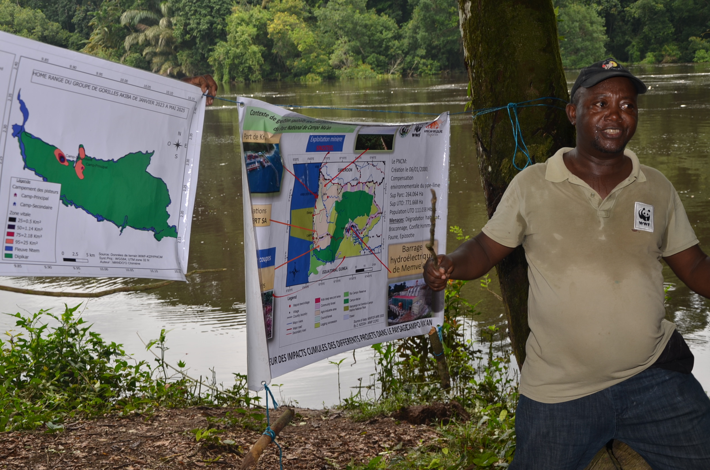
Looking at the same landscape
The Congo Basin is one of the world’s most important and interconnected landscapes. Spanning approximately 251 million hectares (cf. CBFP) , it holds the world’s second-largest contiguous tropical rainforest, home to over 400 mammals, 1,000 birds, and 10,000 plant species; 3,000 found nowhere else. Its Cuvette Centrale peatlands store an estimated 29 billion tons of carbon, roughly three years of global fossil fuel emissions, while the Basin provides food, water and livelihoods for over 75 million people.
At the same time, governments across the region face growing demands for agricultural production, infrastructure, and economic development as populations expand (projected to rise from ~185 million to over 380 million by 2050). Balancing these priorities requires more than protecting forests or promoting development. It requires understanding how different land uses interact across the same landscape
Through the GEF-7 Congo Forest Integrated Program, funded by the Global Environment Facility (GEF) with contributions from donor countries to the GEF Trust Fund, and implemented by the United Nations Environment Programme (UNEP) through its Congo Basin Landscapes Initiative (CBLI), governments and technical partners have developed a common methodology for Integrated Land Use Management Plans (ILUMPs). The Programme also draws on additional bilateral support through Germany’s International Climate Initiative (IKI), channelled through UNEP, reflecting the commitment of multiple donors to sustainable landscape governance in the Congo Basin.
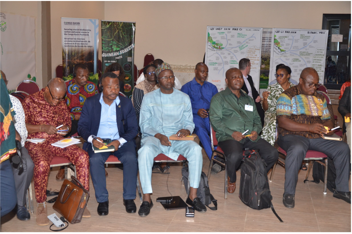
Different evidence, one conversation
Good planning depends on good information.
The challenge is not that information is missing. It is that different institutions often generate different kinds of evidence for different purposes. Agricultural researchers examine land-use patterns and farming systems. Wildlife specialists monitor species and conservation pressures. Climate scientists analyze historical trends and current observations to understand how climate is changing and project how future conditions may affect landscapes. Economists assess the value of natural assets and the service they provide. Each provides an important part of the picture.
Research led by the Liverpool John Moore University has shown that agricultural expansion across the Congo Basin is often more complex than conventional land-use datasets suggest, it is not one commodity such as palm oil which is dominating, it is a wide range of different crops, and a lot is driven by smallholders and at community level instead of large-scale industrial production. Complementing this, the CITES Monitoring the Illegal Killing of Elephants (MIKE) Programme – active in the region since 2001 – and its expanded MIKES+ initiative (Minimising the Illegal Killing of Elephants and other Endangered species) has strengthened monitoring across Central Africa. By evolving from site-specific elephant tracking to monitoring broader wildlife and law enforcement pressures, MIKES provides consistent data and helps managers anticipate conservation pressures and target enforcement where human encroachment and illegal hunting intersect.
Research by the Wildlife Conservation Society (WCS) has demonstrated how ecosystem health, wildlife health and human health are closely connected, showing that changes in landscapes can influence risks that extend beyond biodiversity alone.
Rather than treating these as separate streams of information, Integrated land use planning provides a way to bring them into the same conversation.
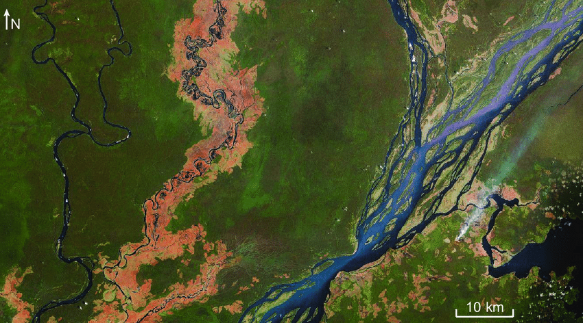
Planning beyond today's landscape
Land-use planning has traditionally focused on current conditions. Increasingly, planners also need to understand how landscapes are likely to change.
Climate projections developed by the Woodwell Climate Research Center for four priority transboundary landscapes help governments consider how and climate change could influence agriculture, ecosystems services and infrastructure over the coming decades. Instead of reacting to future change, planners can begin accounting for it as plans are developed.
Planning also benefits from recognizing the value of the natural systems that support development. Through work led by the Griffith University, the programme explores Natural Capital Accounting - aligning with the UN System of Environmental-Economic Accounting (SEEA)- to integrate vital ecosystem services like water regulation and carbon storage into national policy. Moving beyond static assessments, natural capital accounting provides a standardized statistical framework that allows governments to track natural assets, ecosystem health and economic benefits over time alongside traditional metrics like GDP (Gross Domestic Product).
This work connects directly with growing regional momentum, countries like Cameroon and Ghana are actively compiling SEEA Ecosystem Accounts, while others like Equatorial Guinea and Angola advance SEEA central framework accounts (UN 2025 Global Assessment of Environmental-Economic Accounting). By coordinating with the Griffith University, it ensures these sovereign efforts align with international reporting obligations, enabling decision-makers to quantify the long-term benefits of healthy landscapes.
Together, these contributions strengthen the evidence available for decision-making—not by producing a single answer, but by helping planners understand the landscape from multiple perspectives.
Landscapes without borders
Some of the Congo Basin's most important ecosystems extend across national boundaries.
Rivers connect upstream development to downstream communities; wildlife corridors span frontiers, and environmental changes affect the entire region. Recognizing this reality, countries are working through COMIFAC and other regional mechanisms such as the Congo Basin Forest Partnership (CBFP) to strengthen dialogue around transboundary landscape management. Although each government retains responsibility for its own planning processes, shared methodologies help improve consistency, facilitate cooperation and create opportunities to address challenges that no country can solve alone.
The objective is not to produce identical plans. It is to ensure that neighboring countries are planning from a common understanding of the landscapes they share.
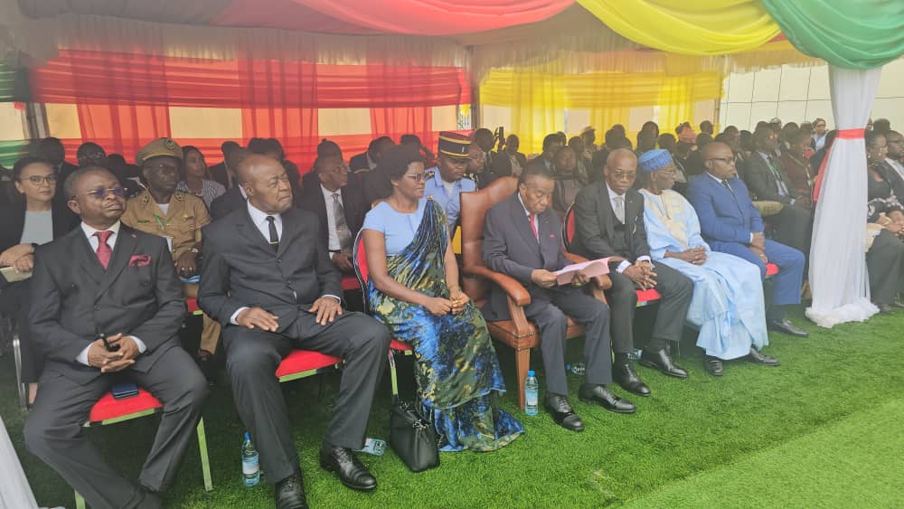
Better decisions begin with better coordination
Integrated land use planning (ILUMPs) is sometimes described as a planning approach. In practice, integrated landscape management (ILM) serves as a concrete inter-ministerial coordination tool. Rather than planning in sectoral silos, governments establish cross-sectoral working groups –uniting finance, agriculture, environment, and infrastructure ministries – to map out land-use trade-offs before implementation. In practice, this kind of coordination can help planners ask questions such as:
- How upstream agricultural land conversion affects downstream water safety, helping guide protective buffer policies, or,
- Where infrastructure can expand with minimal disruption to high-carbon peatlands and local livelihoods.
While no planning framework can eliminate competing priorities, ILM help make those choices more transparent, informed and better coordinated.
Through initiatives like the GEF-7 Congo Forest Integrated Program, regional governments are demonstrating that lasting stewardship depends on creating structural mechanisms for joint decision-making across sectors and borders.