
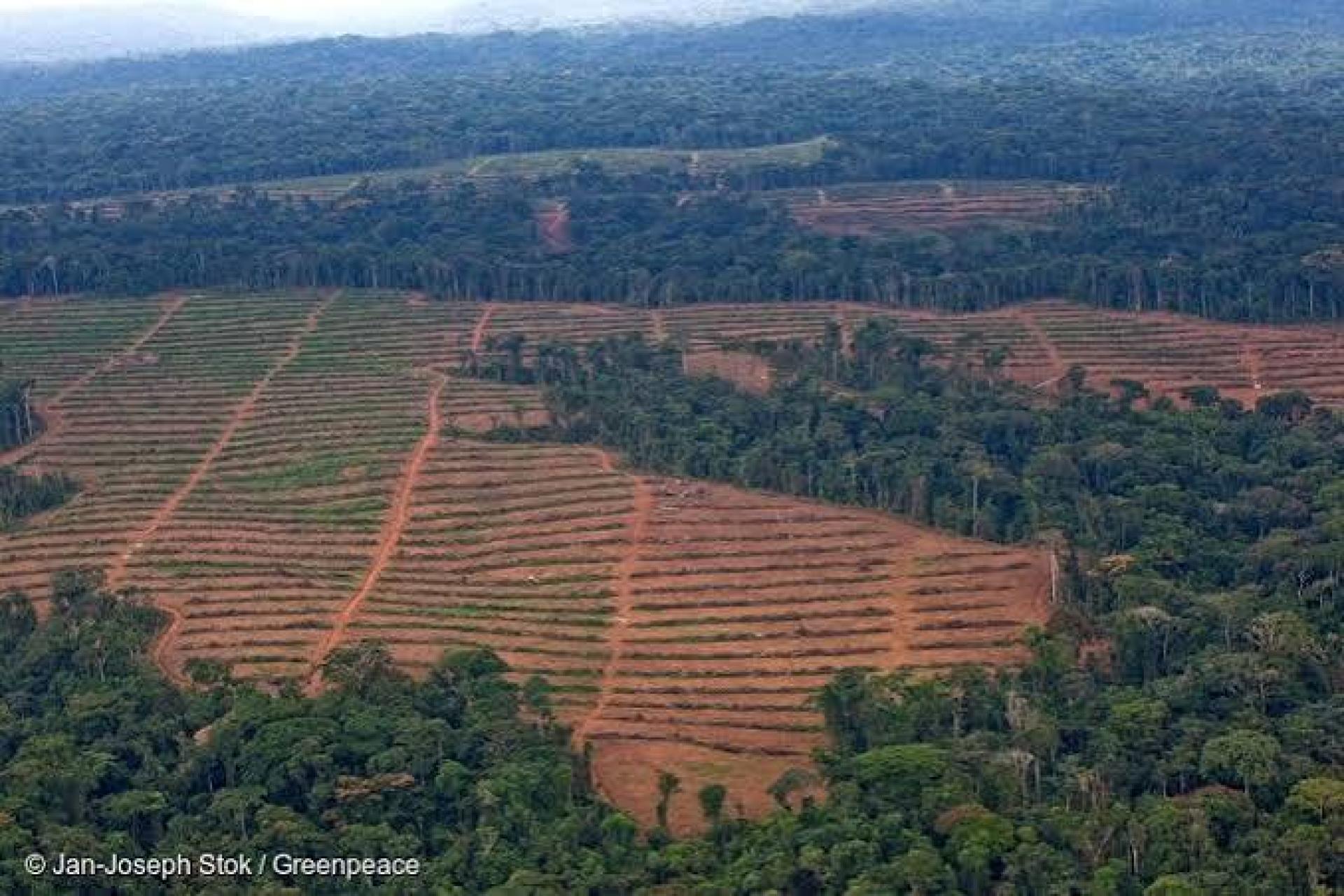
The wrong picture
When deforestation in the Congo Basin is discussed, attention often focuses on large industrial plantations and clearly visible forest loss.
Research led by the Liverpool John Moores University, conducted under of the GEF-7 Congo Forest Integrated Program of the UNEP-led Congo Basin Landscapes Initiative (CBLI) is helping improve understanding of how agricultural expansion is shaping forest landscapes across Central Africa and contributing to deforestation.
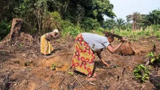
In the region, much of the agricultural expansion shaping landscapes is diffuse, small-scale, and difficult to detect through conventional land-use datasets. Rather than large contiguous plantations, many landscapes are shaped by mosaics of smallholder farms, agroforestry systems, fallows, and semi-managed forest areas.
This matters because the way land use is measured influences how it is understood — and ultimately how it is managed.
Seeing Beyond the Maps
Conventional datasets highlight industrial plantations and large-scale clearings, but often miss the dispersed smallholder systems, agroforestry mosaics, and informal expansion shaping much of the Congo Basin.
When policy discussions focus primarily on industrial agriculture, they can overlook the cumulative impact of dispersed smallholder systems and informal production landscapes.
Better spatial data does more than improve maps— it changes which actors, pressures, and trade-offs are recognized in decision-making.
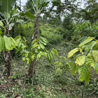
Looking beyond the crop
The research also highlights the importance of looking beyond crop type alone when assessing environmental impacts.
Unlike parts of Southeast Asia, where large-scale oil plantations are a dominant driver of deforestation, agricultural expansion in the Congo Basin is shaped by a diversity of crops - Including palm oil, Cassava, maize, sorghum, cacao, and others- produced largely through dispersed smallholder systems. Much of this expansion is linked to rural livelihoods and limited agricultural productivity rather than large-scale industrial development.
Oil palm, for example, produces significantly higher oil yields per hectare than many alternative oil crops. Under certain conditions, higher yielding production systems can reduce the amount of land required to meet demand. Therefore, environmental outcomes depend not only on what is grown, but where and how production expands – and whether expansion takes place in intact forest or on already degraded land.
Policies that focus narrowly on restricting individual commodities without considering productivity, land-use efficiency, and local production systems may unintentionally shift pressures elsewhere rather than reduce it.
Towards more effective land-use decisions
The LJMU study points to several priorities for more effective land-use planning across the Congo Basin:
- integrating dispersed smallholder systems into land-use analysis;
- improving agricultural productivity before expanding cultivated land;
- strengthening spatial information on informal agricultural systems;
- directing agricultural expansion towards degraded lands where appropriate;
- improving coordination between conservation and agricultural planning; and
- developing financial incentives that support communities in maintaining forests and wildlife.
This type of evidence helps strengthen science-policy linkages and support more context-specific planning approaches across CBLI-supported landscapes.
Seeing landscapes more clearly
The Congo Basin is often discussed through simplified narratives of agriculture and forest loss. Yet the region’s landscapes are far more dynamic and heterogeneous than these narratives suggest.
Understanding where agricultural expansion occurs, what drives it, and different production systems affect forest landscapes is essential for designing policies that reflect the realities of the Congo Basin. As spatial analysis and land-use data continue to improve, they provide new opportunities to support more informed, context-specific, and adaptive land-use management planning across the region.