Protecting the Congo Basin peatlands depends on more than scientific research—it requires national institutions and experts equipped to manage, interpret, and apply environmental data long after individual projects have ended.
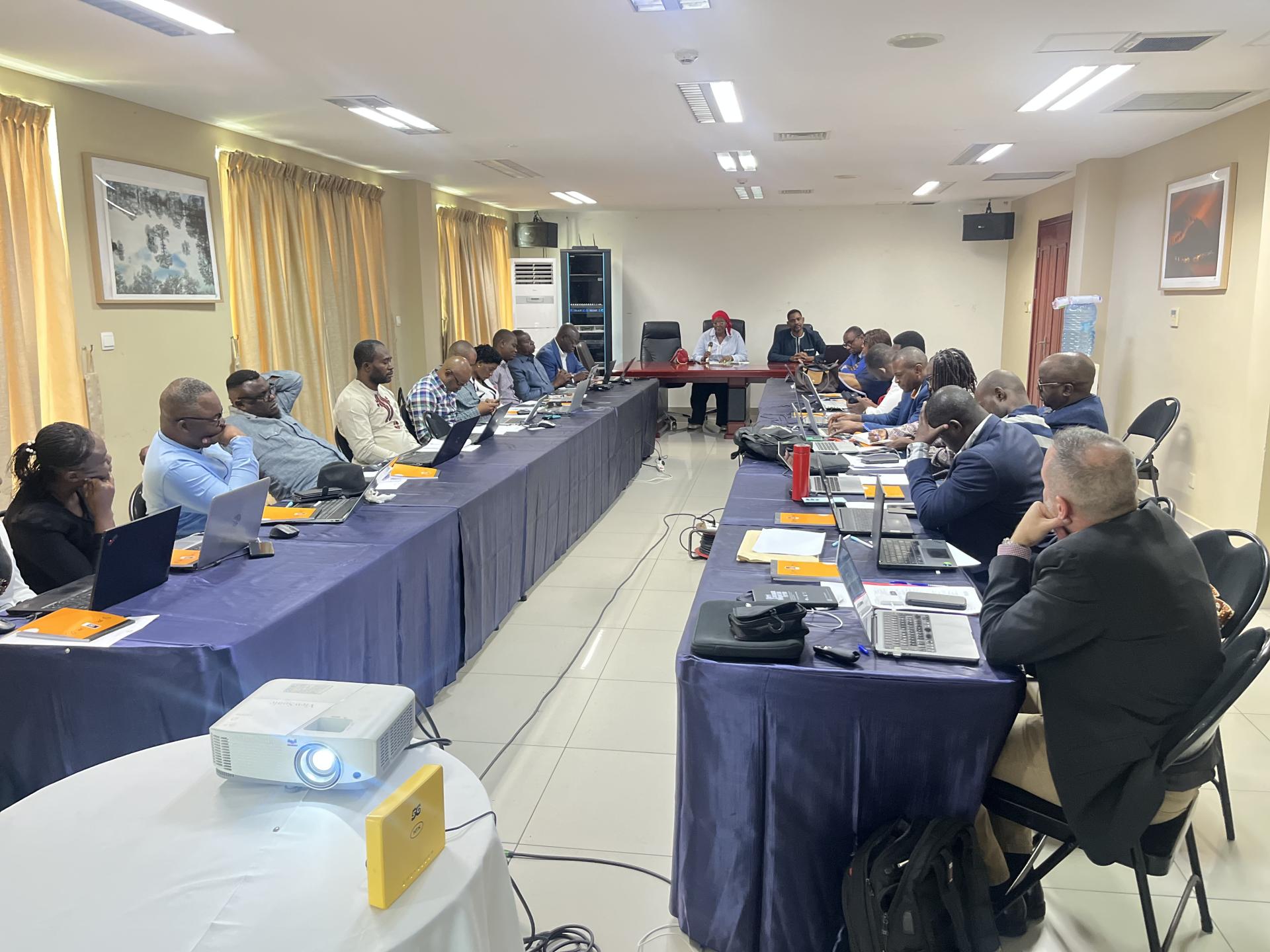
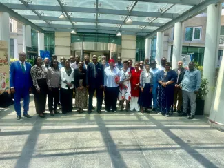
This vision was at the heart of a regional capacity-building workshop held in Brazzaville from April 21–23, 2026, under the Congo Basin Landscapes Initiative (CBLI) and the IKI-funded Congo Basin Peatlands Project. Bringing together 21 key professionals from the Republic of Congo (9 participants) and the Democratic Republic of Congo (12 participants), the workshop marked an important step toward strengthening national ownership of the digital tools and geospatial data that support informed peatland management.
While participants were introduced to powerful platforms such as GeoServer, MapX, and Apache Superset, the workshop was about much more than learning new software. It focused on building the foundations for long-term collaboration, institutional ownership, and evidence-based decision-making.
Building National capacity that lasts
Healthy peatlands play a critical role in regulating water, storing carbon, and supporting biodiversity. Yet managing these ecosystems effectively requires reliable data, accessible information systems, and professionals capable of transforming technical information into practical decisions.
Throughout the intensive three-day workshop, participants explored how geospatial data can be organized, published, and visualised to better understand peatland ecosystems and support planning across sectors. Hands-on exercises allowed participants to publish spatial datasets through GeoServer and map them within dedicated project spaces in MapX. They also learned to build dynamic graphics and interactive dashboards using Apache Superset, reinforcing practical skills that can be immediately applied within their respective ministries and research centers.
Beyond technical training, the discussions centered on a broader question: how can these tools and capacities remain in use after the project concludes?
From individual training to institutional ownership
One of the workshop’s most significant outcomes was a shared commitment to move beyond temporary training and build lasting institutional structures.
To achieve this, participants co-developed and approved a concrete roadmap designed to ensure knowledge remains embedded within national institutions:
Establishing a talent pool: Selecting a dedicated team of 10 national experts (5 from the Republic of Congo and 5 from the DRC), chosen jointly by UNEP and GRID-Geneva, to act as regional champions and future trainers.
Designating institutional focal points: Formalizing institutional anchoring through the Agence Nationale de l'Environnement in the Republic of Congo and the Direction des Inventaires et Aménagements Forestiers(DIAF) in the DRC to coordinate ongoing data workflows.
Maintaining momentum: Setting up collaborative mechanisms, starting with a joint virtual data inventory workshop, followed by an in-person data validation workshop later that month.
Continuous learning: Developing online video tutorials to ensure documentation remains open and accessible for continuous autonomous learning.
By connecting technical data with national environmental mandates, the initiative ensures that the tools to protect the Congo Basin's critical biomes remain firmly in the hands of the nations that steward them.