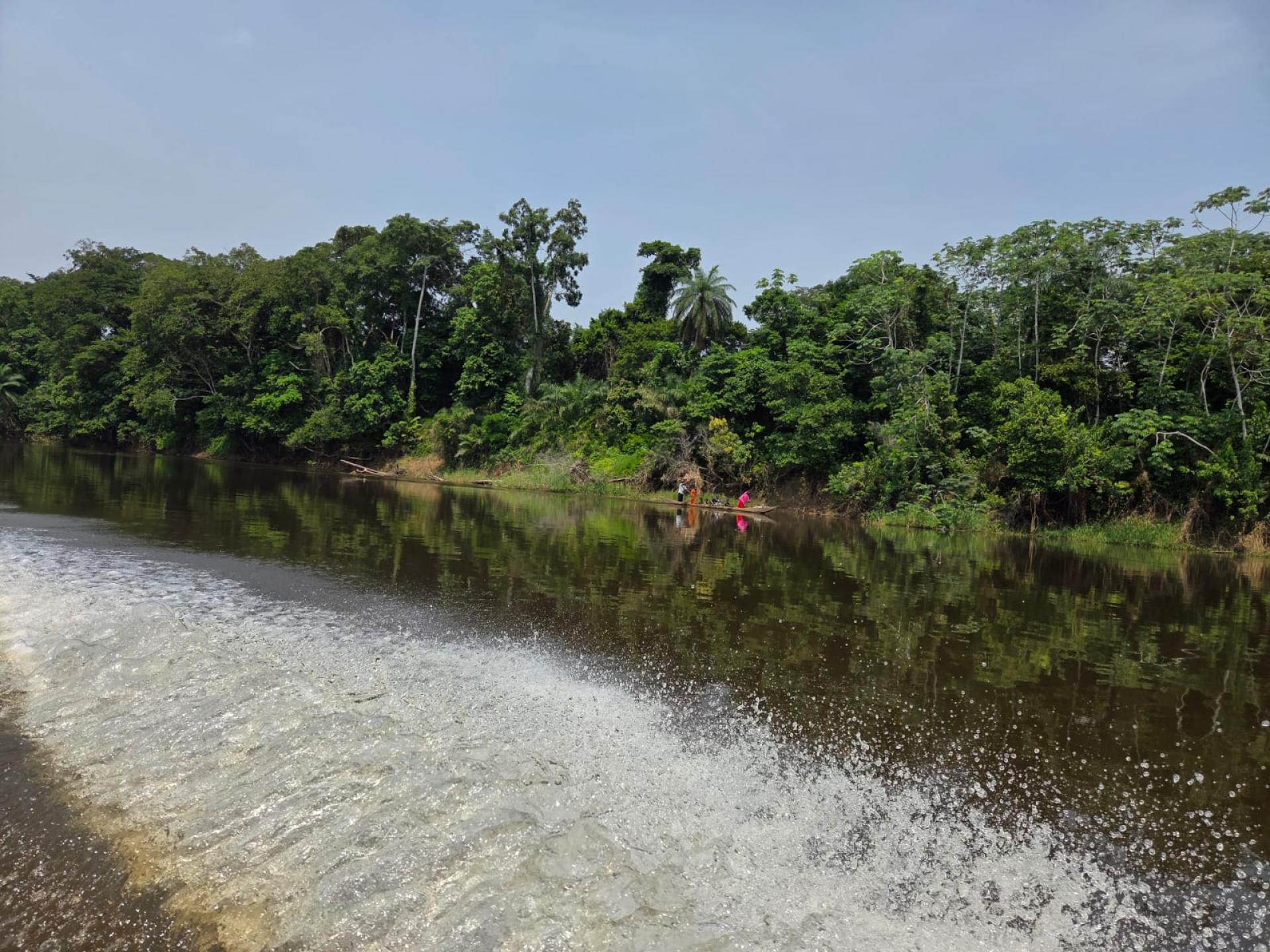
Water is more than just a resource — it is a fundamental force that shapes ecosystems and sustains life, connecting landscapes from ridge to reef. In the Congo Basin, water plays a central role in maintaining the health and function of the region’s extensive peatlands. The peatlands in this region are critical for local livelihoods as well as global climate regulation and biodiversity conservation. They hold enough carbon which, if released, would amount to between 2-3 years of current total global CO₂ emissions. while serving as home to millions of people. Many local communities depend on peatland resources for their livelihoods, including fishing and crocodile farming, accessing clean water, and collecting forest products such as fuelwood, medicine, and timber.
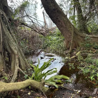
Peatlands operate within a complex and dynamic hydrological cycle, and they must stay wet to stay intact. Once the water table drops, the peat begins to break down, turning a carbon sink into a carbon source. When dried out or degraded, they become highly vulnerable to fires, which are especially concerning due to the significant greenhouse gas emissions they can emit.
Understanding this system is no small task. Water constantly moves — falling as rainfall, absorbed and evapotranspired from vegetation and soil, infiltrating deep into peat layers, moving underground through saturated and unsaturated zones, and flowing across the surface as runoff. Disruptions to this balance — through unsustainable land-use practices or climate change — can trigger cascading environmental and social impacts.
Anticipating these disruptions requires more than observation — it demands tools that can simulate future scenarios. This is the foundation of the Peatland Hydrological Decision Support System (HDSS) — a science-based-tool designed to simulate the water dynamics of the Lac Télé–Lac Tumba landscape and support the sustainable development of the peatlands.
What the HDSS being developed in the Congo Basin does — and why it matters
The HDSS was conceived as part of a broader UNEP-led project “Securing Crucial Biodiversity, Carbon and Water Stores in the Congo Basin Peatlands by Enabling Evidence-Based Decision Making and Good Governance”, a six-year project (2022–2027) from the German government’s International Climate Initiative (IKI). The project aims to safeguard biodiversity, carbon, and water in the Congo Basin. Specifically, the HDSS is a tool helping to simulate hydrological impacts of various scenarios and intended to make scientific data accessible for policymakers to guide decisions that affect peatlands in the Republic of Congo and the Democratic Republic of Congo.
The HDSS integrates a physically based hydrological model with scenario analysis to assess the impacts of development and climate change on peatland water levels. The HDSS uses the best available data — including peat depth maps, satellite-derived water level data, topographic data as well as climate data such as rainfall and evaporation. Using MIKE-SHE, an advanced hydrological modeling software, the model then simulates how the peatland’s water table responds to different disturbances.
Stakeholders can use the HDSS to evaluate “what-if” scenarios, each corresponding to a specific development or climate scenario. What happens if a road embankment obstructs water flow across a peatland? If large-scale plantations are developed near peatlands? If climate change shifts the region’s rainfall cycles?
When selecting these “what if” scenarios in a list, the user can view the consequences and impacts associated with each scenario. For each one, the interface displays key indicators such as the reduction in water level or carbon loss. The system then provides an impact severity rating for each scenario, and reference links for further information or recommended actions. Of course, each scenario has its own cost and benefits. For example, the construction of a road, while damaging a peatland, can be vital for community development and the HDSS is thus critical for informing balanced decision-making.
This approach, which provides a user-friendly decision-support interface built on scientific principles and tailored for national and sectoral planning, makes the HDSS both rigorous and usable.
A participatory design process
In March 2025, a multi-stakeholder consultation in Brazzaville brought together representatives from government ministries, NGOs, scientific institutions and local communities to refine the HDSS. Over two days, participants collaboratively identified 14 key development and climate scenarios for modeling, including: road construction across flood-prone areas; expansion of agro-industrial plantations; hydropower development and water infrastructure, unsustainable fishing and fire use near peatland margins; high- and low-emissions climate trajectories among others.
The workshop underscored the importance of modeling interactions between stressors — such as drainage combined with fire — and highlighted the need to account for spatial variability in rainfall and water sources (rain-fed vs. river-fed peatlands). It also laid the groundwork for institutional anchoring, including discussing the potential long-term host of the system, with technical and governance support from relevant sectoral institutions, and data-holding agencies. A similar exercise will be replicated in Kinshasa in the future.
Looking ahead: science into action
The coming months will see key technical and policy milestones:
Finalise and simulate all identified scenarios in the hydrological model, with outputs integrated into the HDSS interface by mid-2025.
Development of a regional water resources management plan for the Lac Télé Lac Tumba landscape, informed by HDSS results and designed to balance development and ecosystem protection.
Capacity-building for national stakeholders, ensuring long-term ownership and operational sustainability of the tool.
Transboundary coordination between the Democratic Republic of the Congo and the Republic of Congo, whose territories share the Lac Télé–Lac Tumba peatland system.
The HDSS represents a significant advancement in using hydrological science to inform sustainable peatland management. By making system dynamics visible and actionable, it enables planners to anticipate risks, weigh trade-offs, and design interventions that align with both environmental integrity and socio-economic goals. In the end, the HDSS is not just about modeling water. It’s about navigating the complex interface of hydrology, development, and governance — and doing so with the clarity to support decision making that only science can bring.
More information about the Congo Basin Landscapes Initiative here.